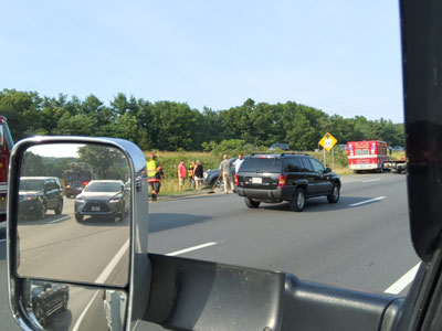
We left Croton Point Park on June 30
and headed North. While on 495 near Lawrence Mass there
was an accident right in front of us and a car with
three passengers flipped over. Surprisingly they were
all Ok. People in other cars stopped and flipped the car
back upright. Since I was the next vehicle behind them
my Dash Cam recorded the whole crash. I gave the mini
chip to the State Trooper who promised to mail it back
to me. He did and now that we are back in Croton and I
got my mail here it is.
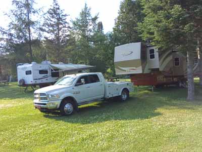
We continued on our way to Wells,
Maine and Gregoire RV Park a frequent stop over for us
on our way usually to Bar Harbor but not this time.
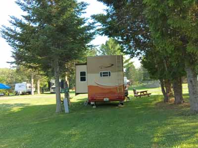
Next morning we up I 95 to Houlton, Me
on the Canadian border and stayed in My Brothers Place,
not my brother, not Debby’s brother but a nice
grassy camp ground of that name.
When we called from Florida to make the
reservation the owner who answered the phone was in
Tampa, Fl. I wonder what percentage of seasonal business
people stay up North in the Winter?
The next day we crossed the border into Canada and as in the past it was uneventful although I had unlocked my cabinets on truck and trailer just in case.We also lost an hour as New Brunswick is on Atlantic Time. That night we stopped in Loch Lomane RV Park in Amherst, New Brunswick. I didn’t know it when I planned it but Anne Murray the Canadian Country singer came from there and has a center for visitors unfortunately we didn’t visit. I liked one of her songs something about getting up in the morning and nothing bad was happening in the world, Wish full thinking but a nice song.
The next morning July third and our
55th Anniversary we drove to North Sydney, Nova Scotia .
Debby received several congratulatory phone calls as we
drove. I only mention that because when we got to
Newfoundland there was no phone service. We learned from
Verizon tech support using my phone that they have no
partners in most of Newfoundland. For that mater turns
out they have no partners in New Brunswick either. The
whole thing with Verizon turned out to be a real mess as
she received emails from them notifying her of about
$300 in excess charges. We called using my T- Mobile
phone which we have also been using for internet and got
them to credit her account. Every ?Verizon
Representative we spoke to while in Newfoundland had a
different story. Needless to say we aren't using her
phone or our Mifi and Internet radio devices for the
rest of our stay in Canada.
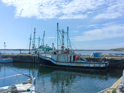
We pulled into the ferry terminal, took
a short walk in town and went to dinner. Fortunately it
was not the worst anniversary dinner we have had. Quite
the contrary it was very good.
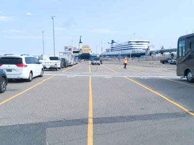
After dinner we returned to the Ferry terminal until it was time to board
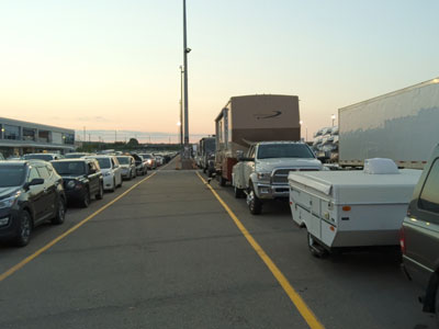
As you may know or not passengers
cannot stay in their vehicles while on-board these
ferries. Although we had booked a stateroom for the 14
hour return this was only a 7 hour crossing so we
elected to spend it in one of the lounges and only
catch’s cat naps. A number of people with sleeping bags
stretched out on the lounge floor although I have read
that is not permissible.
When the ferry docked around 7 AM we had lost another half hour since Newfoundland is on its own time zone. Drove off the ferry and stopped at the visitors center before proceeding to the Codroy RV and Tent park for a two night stay.
After parking the trailer and eating
breakfast at about lunch time we proceeded to the Codroy
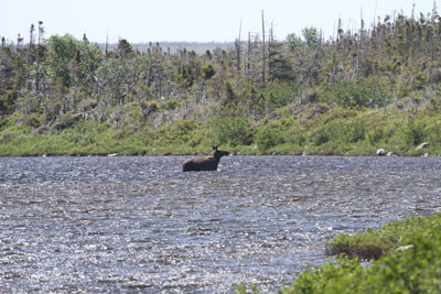
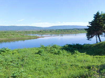
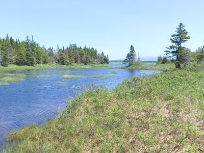
Valkyrie Wetlands Visitors Center. We took a nice walk
on the wetlands but didn’t see any wildlife.
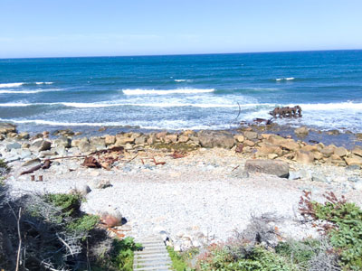
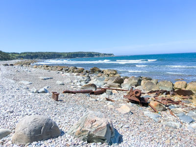
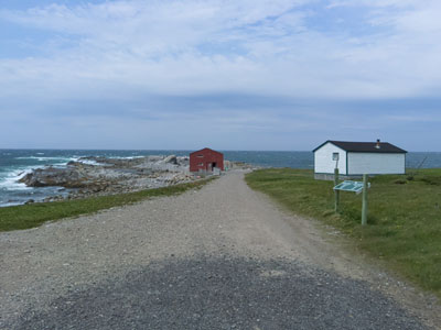
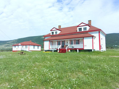
After
the walk we drove to the Aguila light house and the most
westerly point on Newfoundland.
From their we went to the beach were plovers nest
but didn’t see any on the beach. We did meet and
chat with several other tourists both Americans and
Canadians before returning to the campground.
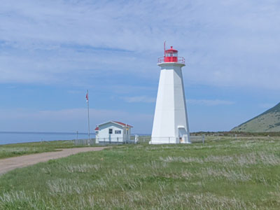
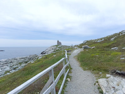
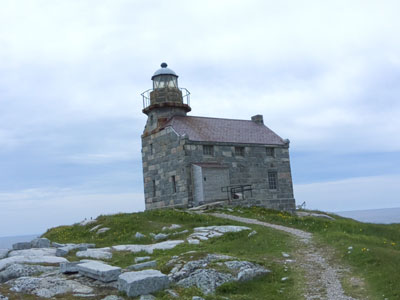
The next morning the 5th of July we
drove back past Port Aux Basque and onto a scenic winding
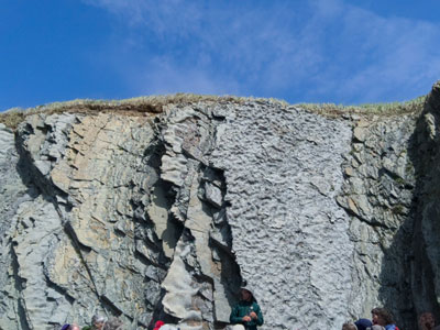
road to the lighthouse a rebuilt granite building.
Possibly the only remaining granite lighthouses. After a
brief walk up the hill we went into the light house.
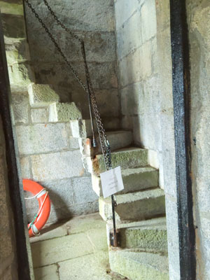
While there I climbed the circular staircase until I saw
a ladder at the top and decided I wasn’t going up there.
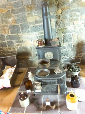
Debby and I had a nice chat with the two young docents
in the lighthouse.Canada hires high school and college
students as docents for their Federal tourist attraction
including the national parks in the summer. We had
learned this during our last visit when we saw the
operating the manual locks and bridges on the Ridou
Canal.
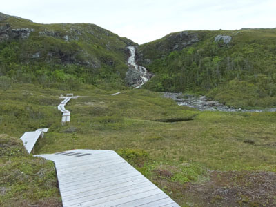
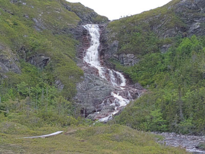
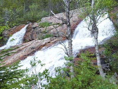
On the drive back we
stopped and walked Barachois Falls and on Harvey’s
trail. George Harvey was a local hero who had
saved shipwreck victims about 200 of them between 1828
and 1838